
Navigation

A typical navigation flight (whether with the instructor or with me alone) usually lasts 3 hours (unless I'm unfortunately lost or even worse, crashed). The preparation for the flight starts the night before the scheduled flight, with the drawing of the track between waypoints to waypoints. The magnetic degrees of the track and the distance between the 2 waypoints are found and written into our flight planning sheet.
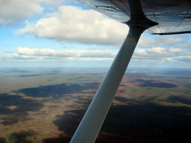
cant remember why i take this picture, i think the mountain is supposed to be Mt Solus
 Blue skies
On the next day, usually 2 hours before the estimate time of departure of the flight, a copy of the day's weather forecast will be obtained from our operations room. This copy of the weather forecast will tell us the cloud base, the significant weather, the wind direction and strength and other miscellaneous stuff, such as airstrip condition, parachuting activities at some areas etc. With this forecast, we will plan according to the altitude we'll fly at, and obtain a forecasted groundspeed. The groundspeed will allow us to estimate how much fuel we'll need for the flight, and the time we'll reach our destination.
 Mt Saddleback, name given for the saddleback shape of the 2 peaks
 more mountains, not sure what's the name
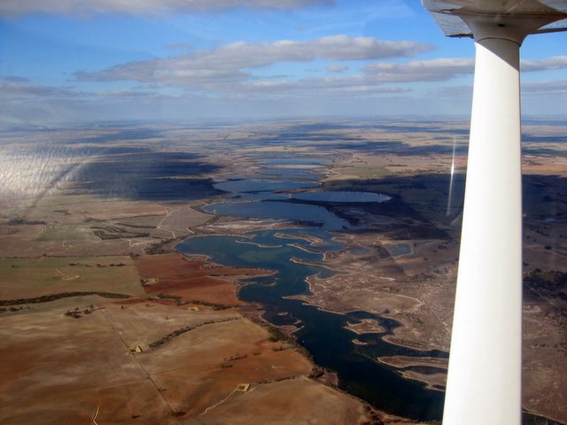
 Serpentine Reservoir
 North Dandalup Reservoir
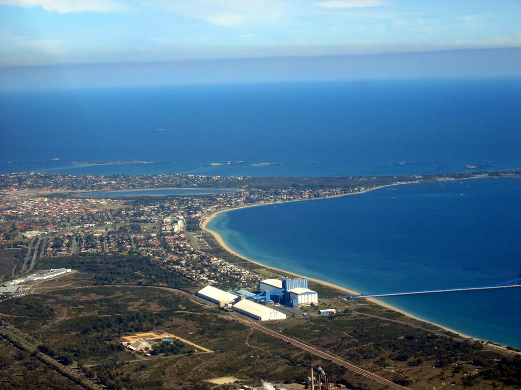
Lake Cooloongup & Lake Walyungup
Yenyening Lakes

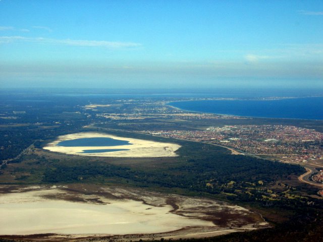
Lake Banksiadale
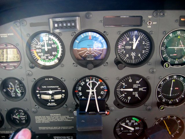
Instrument Panel: (Top L to R) Airspeed indicator, Artificial Horizon, Altimeter
(Bottom L to R) Turn and Slip Indicator, Directional Gyro Indicator, Vertical Speed Indicator
posted by coot at
9:40 AM
![]()
![]()


4 Comments:
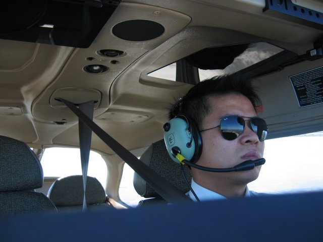
Dude... u are looking really cool in that aviator shades! anyway the pics are really nice... how to u take photo and fly at the same time?!
By Unknown, at 7:35 PM
i dun look like a gangsta in that? haha. If the aircraft is set up nicely,its possible to take photos even wif 2 hands off the control, but usually i still need to put one hand there
By coot, at 9:48 AM
the photos are breathtaking :) haha long time no see man!!
By Anonymous, at 9:56 PM
hey zhijian! thanks for dropping by. Drinking session when i'm back!
By coot, at 9:03 AM
Post a Comment
<< Home